How Geospatial Education and Courses Play an Important Role to Build Your Career
So, you have always been passionate about the earth, planets, sun, moon, stars, satellites and everything included in the geo-universe. You want to build a career in geospatial technology but are not sure about the right job to choose after completing your geospatial education and course. Don’t worry. This happens with a lot of us while choosing our desired career but there’s always a solution, we have got you some helpful career tips that will help you build a career in geospatial technology.
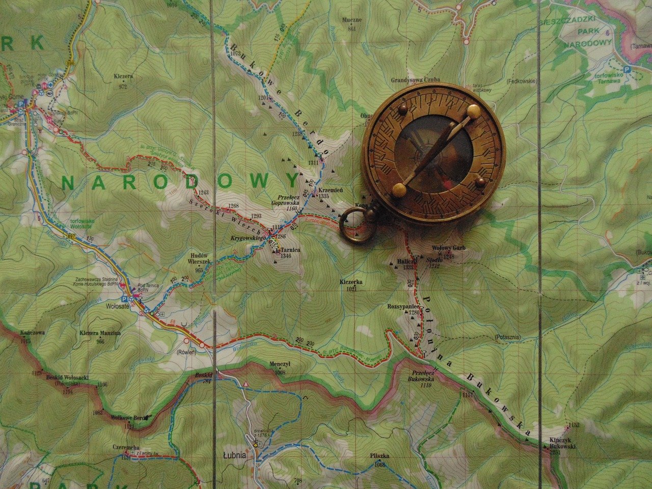
Geospatial technology helps you to build a career
Custom-design your resume
Your resume is the first thing the employer will see and it must make you stand out from the other applicants. Do not just boast about your experience and skills in your CV and send it to every geospatial job posting you come across.
You must follow a process of custom-designing your resume every time you apply for a geospatial job vacancy. Here’s what you need to do:
- Go through the job posting thoroughly and highlight the desired and required qualifications
- List your education qualifications, internships and work experience, and skills that you can showcase to the company.
- Now, rewrite the resume using the job description as the template and match your skills.
When you create your resume right, your chances of getting an interview call increases.
Do not leave an opportunity
Most probably, you will be starting your career in the geospatial field as a fresher or at the entry-level position. These entry-level positions are part-time jobs, which are mostly for recent graduates and doesn’t always give you employee benefits.
You will get opportunities to take geospatial internship programs, which do not always give you interesting tasks but you still get to learn. So, we would suggest you try your hand in every opportunity that knocks your door. There’s a lot to do in the field of geospatial technology. Just keep your eyes open!
Apply for anything and everything you come across, cracking a geospatial job is not a cakewalk. You can also go for geospatial volunteer opportunities. If nothing, you will gain some valuable experience, which will help you in your career further.
Keep honing your skills
Start polishing your geospatial skills, soon after you get an interview call. Get all the technical things clear and take some popular geospatial education and courses that would help you improve your skillset. Interviewers will ask a series of technical questions on tools, projections, and databases. So, it is always the best thing to prepare yourself for it.
Once you have got a geospatial job, things do not get any easier. You still need to keep practicing your skills. You need to understand everything about geospatial as it is all about critical thinking and solving geo-related problems. You will learn how there is more than one way to solve an issue and this comes from regular practice.
Be straight while discussing the salary
People do two things that can put their chances of getting a job at risk when it comes to finalizing the salary. When the interviewer asks about your expected salary, do not:
- Answer too high and get out from the list of the competition
- Answer too low and underestimate your value and potential for the job post
So, how should you answer these salary-related questions?
In the United States, geospatial technicians get somewhere around $40,000 and geospatial software engineers get around $100,000. If you are starting as a geospatial technician, now you know what to bid while applying for jobs in the USA.
Be a member of a local geospatial user group
User groups are the life-engine of a geospatial community. Joining a geospatial user group keeps you actively involved in the conversations and activities of the group. You get to build good relationships with your peers.
The best way to be a part of a geospatial group is to join your provincial, state or local geospatial user group. You might find student opportunities at webinars or conferences. Some of these opportunities involve volunteer presentations and scholarships. Keep building networks within the geospatial communities and job offers will keep coming your way.
Relocate to a city that offers good geospatial job opportunities
Not every city or state has better opportunities for geospatial students. You need to do your research on which cities in your country offer a good scope of geospatial jobs. You must relocate to those cities for a prosperous career in the geospatial field. As there is not much scope of geospatial jobs where you can work from home, making this move is significant for you.
If you have just started your geospatial career, relocation could be beneficial for you. But, when you have got 10 or more years of experience in the field, relocating can lead to losing the existing contacts in your city.
Enroll in geospatial education and courses
Having a geospatial certification can be your key to unlocking that awaited job opportunity. There are several professional geospatial education and courses that help individuals get great career opportunities in the geospatial field.
There are companies that look for candidates having certifications such as Geographic Information Systems Professional (GISP). You know what level of competition is involved in cracking a job interview or just getting one lined up and this certification could be your tie-breaker.
Get enrolled in a suitable geospatial education and course, if you haven’t yet. There are several online platforms that offer geospatial certification courses to the aspiring candidates. You can take online classes in cartography, spatial analysis, GIS, web technologies, database management, and programming. It would be best to seek a certified geospatial education platform that offers classes on almost all the applications of geospatial technology.
Conclusion
Now that you know what would work best for you in building a career in the geospatial field, start working on yourself and improve your skills and expertise in the field. Educating yourself about the different applications of geospatial technology can be something worth a try. It is never too late to learn!

Best WordPress Themes in 2026 (Free & Premium Compared)

3D Discount Numbers Illustration
Weekly or Fortnightly Lawn Mowing?

Getting Your Garden Ready During a Property Move

Field Services: Prioritizing Technician Health & Safety in Covid-19 Response


3 Best PayPal Alternatives for WordPress Users